Science to policy
Ways to support
Ways to support
The mission of our research program is to investigate pressing environmental and socioeconomic issues related to water quality and quantity, human health, biodiversity, invasive species, flood control, and habitat restoration and to disseminate those research findings to guide policy and decision-making.
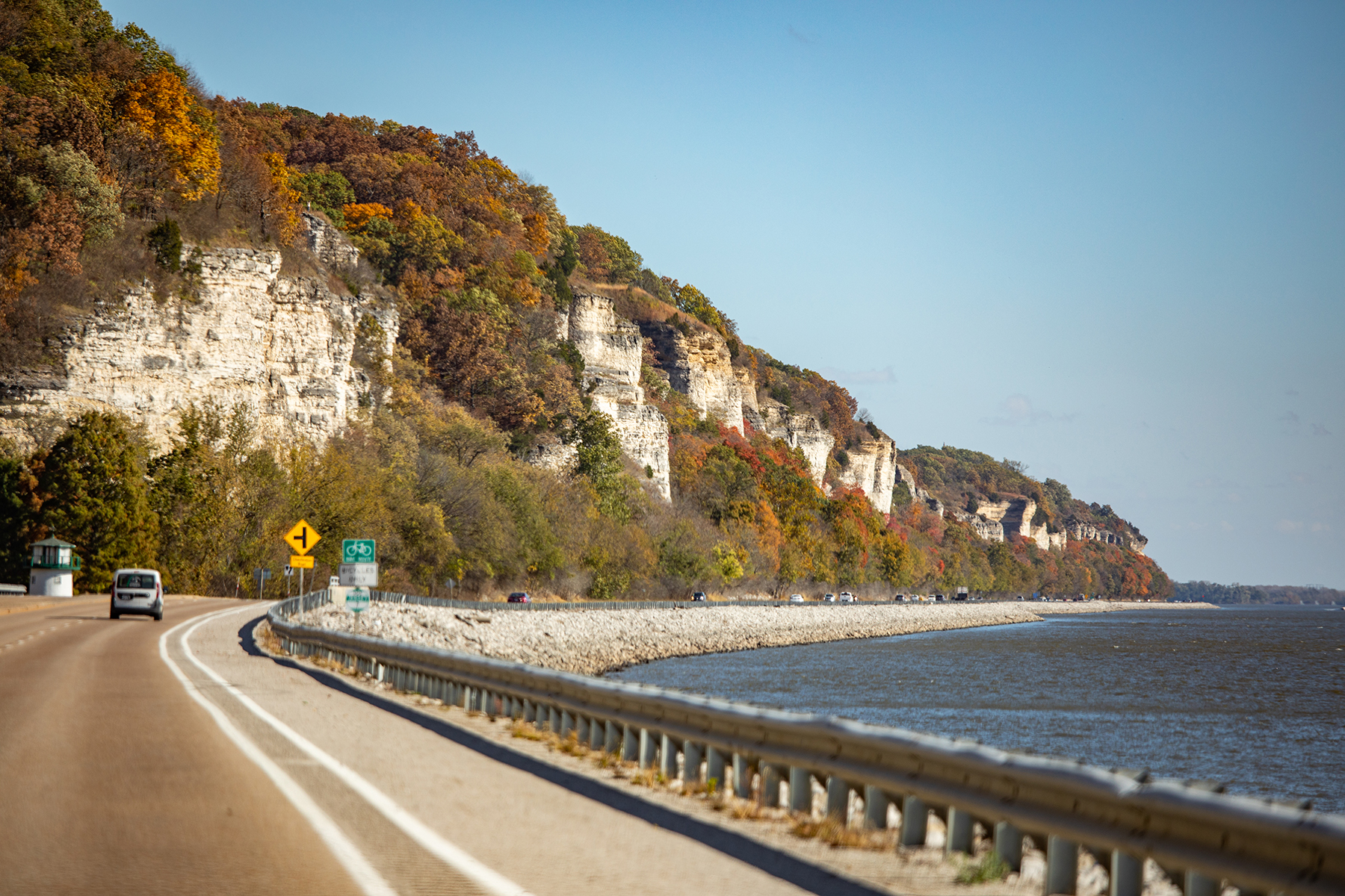
Our research at National Great Rivers directly benefits the management of the Mississippi, Missouri, and Illinois rivers, and it informs management and policy decisions for other river systems. Our research helps inform the public and reinforces the ties of human communities to local watersheds. We have a diverse research program spanning several disciplines, from aquatic ecology to forestry to human dimensions of watershed sustainability. We currently have three significant focus areas that are interdisciplinary and involve researchers from several of our partner institutions and agencies: the Great Lakes to Gulf Virtual Observatory, the Wetlands Collaborative, and the Freshwater Contaminants Consortium.
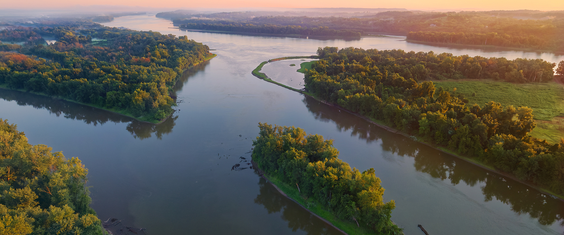
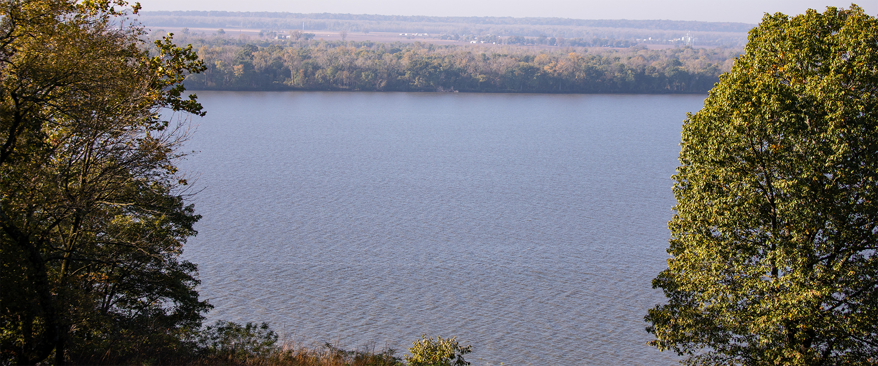
Covering over 40% of the continental United states, the Mississippi/Atchafalaya River Basin (MARB) plays a crucial role in the ecological and economic health of our country. The Mississippi River and its tributaries supply drinking water, facilitate transportation, offer recreational opportunities, and provide habitat for a diverse array of plants and wildlife. But the river and its tributaries are degraded by high concentrations of nitrogen and phosphorus from point and nonpoint sources. States are working to reduce nutrient loss in the MARB, but it takes time to see results from reduction efforts. Monitoring long-term nutrient trends is one way to measure progress.
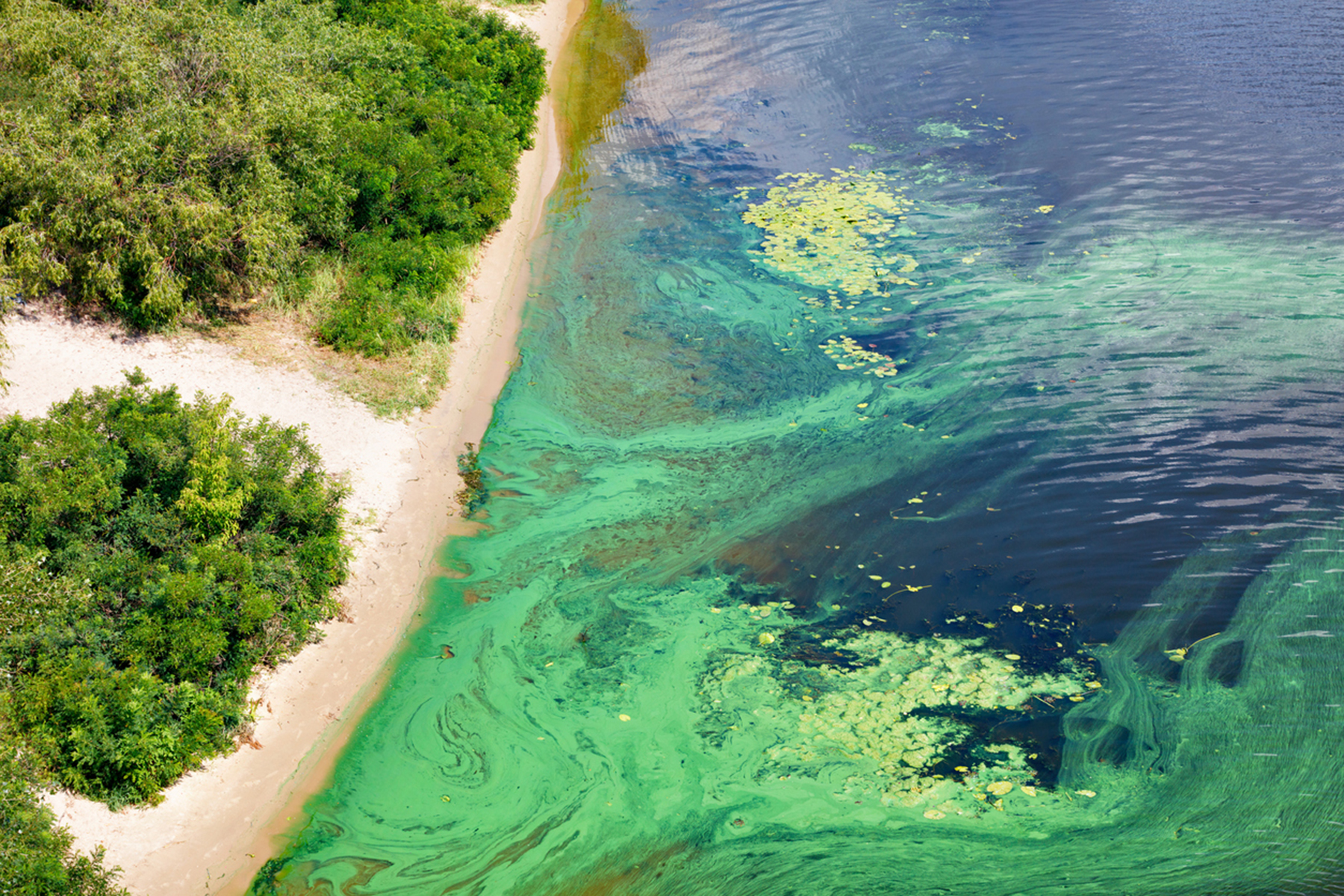
The Great Lakes to Gulf (GLTG) project is a partnership between National Great Rivers and the National Center for Supercomputing Applications (NSCA) at the University of Illinois and is partially funded by the Walton Family Foundation. GLTG employs an interactive website that provides user-friendly visualizations of water quality and land use data in the MARB. It is built on Geodashboards, an open-source geospatial technology, and draws data from 1,300 sensor sites covering 122,233 contributing waterways and over 44 million data points. Together, all this data creates a comprehensive model of nutrient loads entering the Mississippi River and the Gulf.
GLTG is tailored for scientists, land managers, nonprofit organizations, and policymakers in federal, state, and local institutions. It assists them in deciding where to allocate limited fiscal resources for on-the-ground conservation efforts to achieve the most cost-effective nutrient reduction results. The GLTG website showcases three dashboards.
It can take decades before the results of conservation efforts become apparent, as nutrients cycle through a myriad of natural systems. That is why long-term nutrient trends analyses are so important. GLTG helps people visualize the outcomes of environmental management practices and other factors, such as the relationship between precipitation and river flow, that affect water quality over time.
Nitrate-N trends in Mississippi and Atchafalaya River Basin Watersheds: Exploring correlations of watershed features with nutrient trends components 2000–2020, Science of The Total Environment, Volume 970, 2025, 179042, ISSN 0048-9697: https://doi.org/10.1016/j.scitotenv.2025.179042
Alejandra Botero-Acosta, Gregory F. McIsaac, Ellen Gilinsky, Richard Warner, Jong S. Lee., Laura Kammin. Phosphorus trends in Mississippi and Atchafalaya River basin watersheds: Exploring the roles of streamflow and watershed features 2000–2020, Science of the Total Environment, Volume 998, 2025, 180272: https://doi.org/10.1016/j.scitotenv.2025.180272
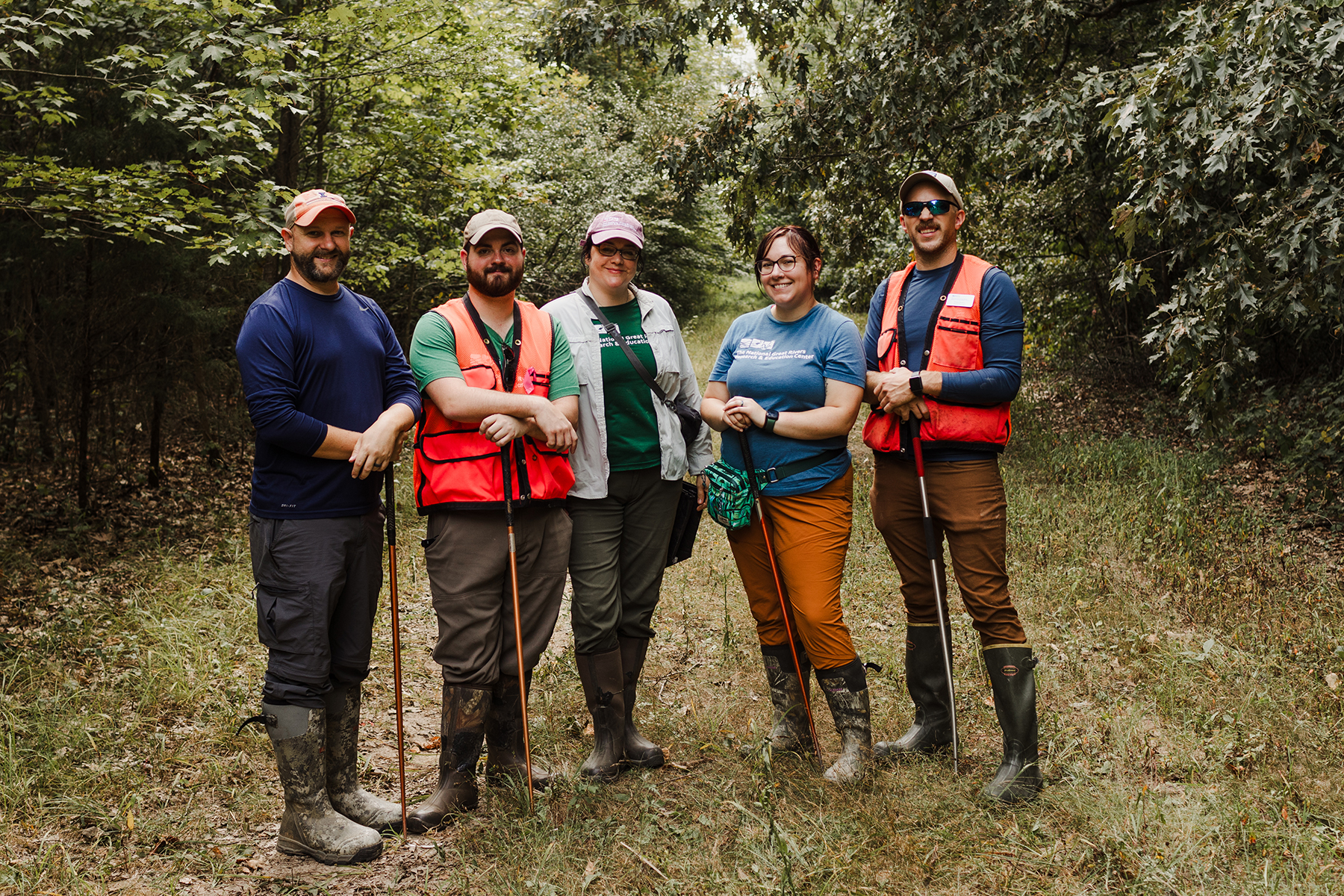 The Wetlands Collaborative (WC) is a collective effort between NGRREC scientists, educators and external partners to conduct research to educate the public about freshwater wetlands. The goal of the WC is to be a leader for freshwater wetland research across the Mississippi River Basin and beyond.
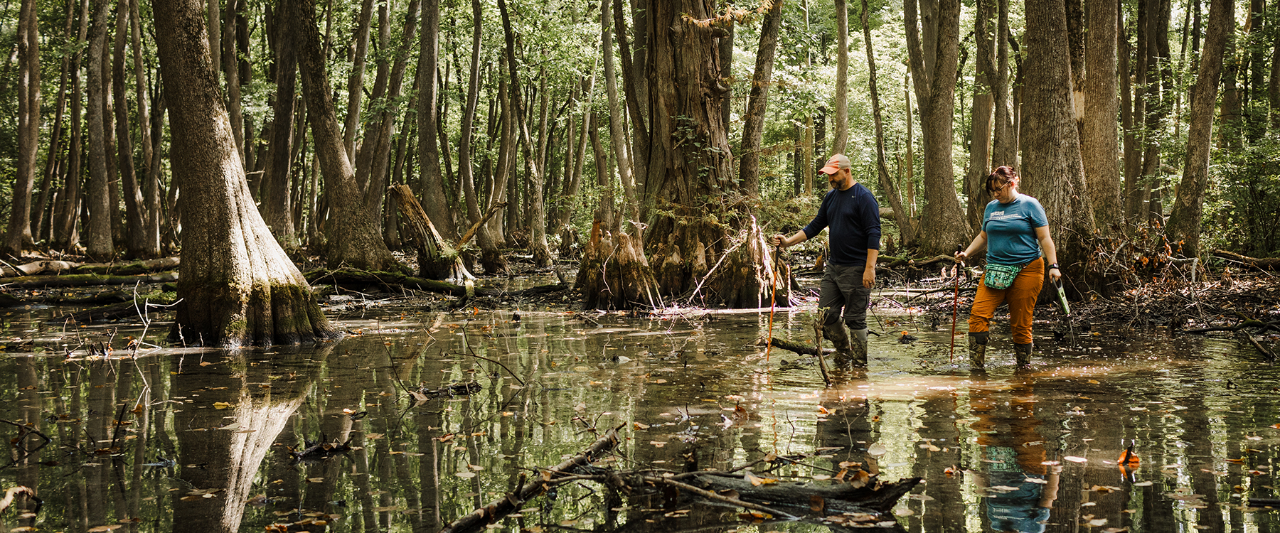
Wetlands are one of the most productive and economically important ecosystems globally. Since wetlands are defined as land saturated by water for extended periods of time, this leads to a multitude of habitat types, supporting a high diversity of species. Wetlands also provide critical ecosystem services such as flood water storage, groundwater recharge, nutrient retention and water filtration, as well as recreational opportunities. They are particularly important in the Mississippi River basin due to their ability to absorb flood waters, slow the velocity of flood water, and filter pollutants before water enters large rivers. However, most upland embedded wetlands (e.g., isolated wetlands, prairie potholes, seasonal wetlands, and semi-permanent wetlands) do not have federal protections under the Clean Water Act. Recently, the Sackett vs. EPA decision stripped federal protections from wetlands without a visible surface connection to larger, navigable waterbodies. Illinois is one of several states without a state-level wetlands protection plan. Given the importance of wetlands, more research and education on wetlands is warranted, especially in Illinois.
Wetlands are a key research focus for scientists at NGRREC, spanning multiple taxonomic groups (amphibians, reptiles, insects, and plants) and habitat types (vernal pools, wet meadows, and bottomland forests). One of the strengths of the WC is the diverse depth of knowledge of wetland flora, fauna, and hydrogeologic processes of its partners. Ongoing research on the state-threatened Bird-voiced Treefrog (Hyla avivoca) is a lead research project of the WC. In 2023, NGRREC and Route 3 Films released The Call of the Swamp: Investigating the State Threatened Bird-voiced Treefrog, a short documentary about our scientists’ work. That film is now part of a curriculum module available for K-12 educators. Another area of research has focused on wetland-dependent insects, including Odonates (dragonflies and damsel flies) and native bees, opening new lines of research into understudied taxa across the state. Additionally, using cutting-edge aerial imagery technology, we can assess research sites with LiDAR and multispectral cameras via drones, generating invaluable data on the occurrence and extent of wetlands that may be missed by traditional mapping. These research programs will generate long-term data sets for the benefit of other ecologists and conservation managers working in wetlands throughout the state and the Mississippi River Basin.
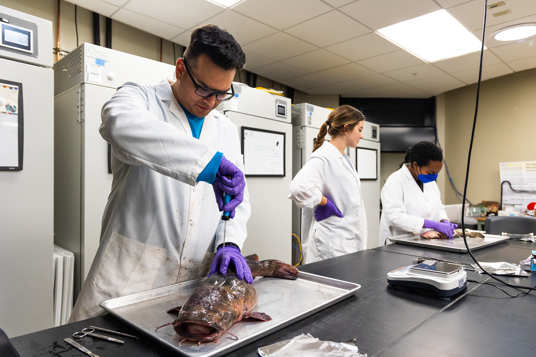 The mission of National Great Rivers Freshwater Contaminants research is to leverage our multidisciplinary research capabilities, along with our unique networking abilities with partner institutions, to conduct and facilitate research on freshwater contaminants across the Mississippi River Basin and to disseminate these data to scientists, managers, and policymakers. Our focus spans scientific disciplines (physics, chemistry, biology) and levels of biological organization, from molecular biology to ecology to human dimensions. Additionally, we strive to enhance public understanding of freshwater contaminants across the Mississippi River Basin through education and outreach initiatives.
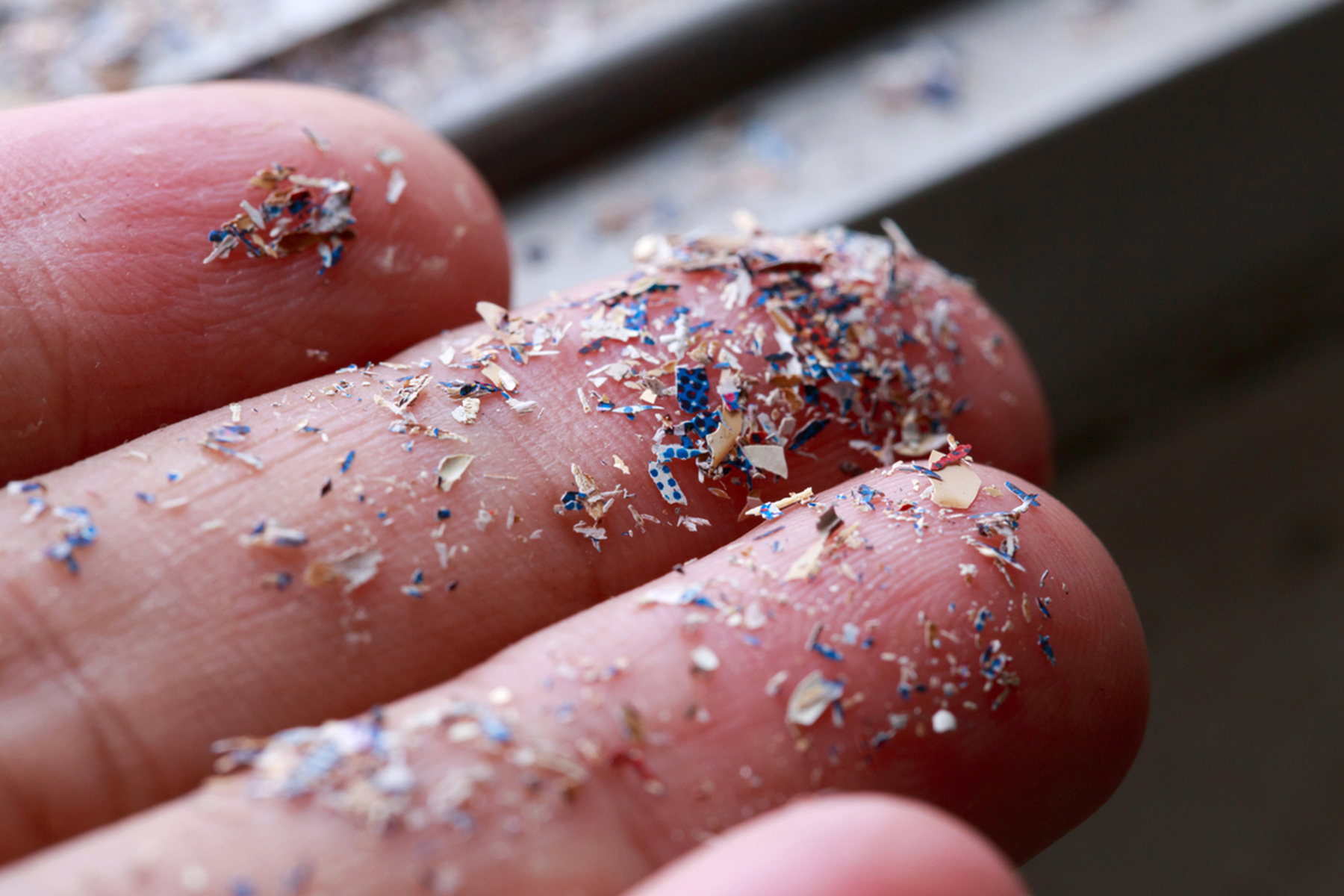
Our freshwater contaminants research involves chemistry, hydrology, modeling, ecology, and ecosystems science, with a focus on identifying the contaminants (such as microplastics, forever chemicals and others), characterizing their movement across the landscape, and exploring their occurrence and impact on biodiversity and ecosystems services. The strategic position of National Great Rivers as a network hub fosters collaborative partnerships with other institutions and organizations across the Mississippi River Basin. We will connect managers, policymakers, and other stakeholders with the latest scientific data on freshwater contaminants to develop evidence-based policies. Our researchers will collaborate with our educators at National Great Rivers and partner educators to provide evidence-based curriculum for their programs and promote awareness of freshwater contaminants across the Mississippi River Basin.
 |
 |
